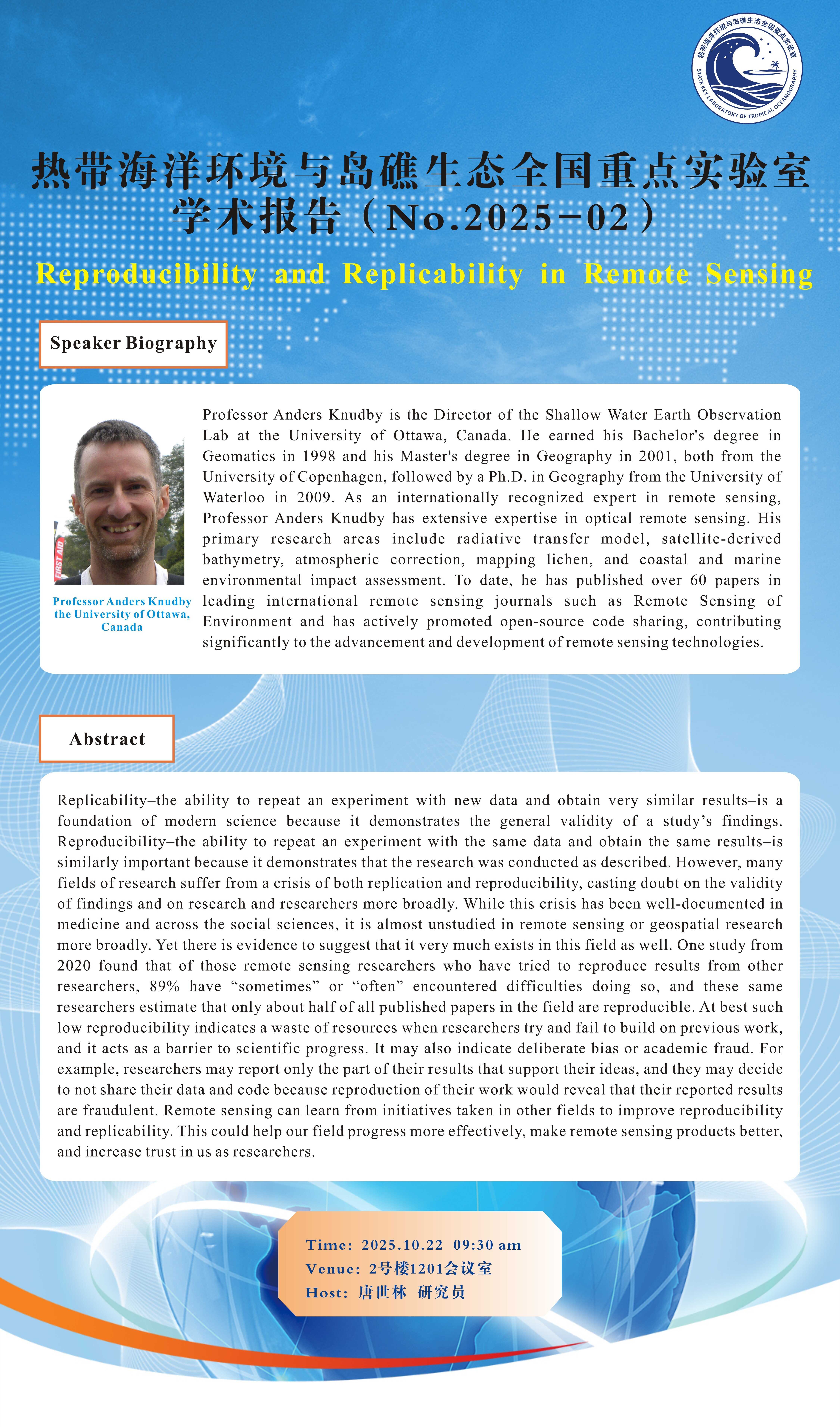
【报告人Speaker】:Professor Anders Knudby,the University of Ottawa,Canada
【摘要Abstract】:Replicability–the ability to repeat an experiment with new data and obtain very similar results–is a foundation of modern science because it demonstrates the general validity of a study’s findings. Reproducibility–the ability to repeat an experiment with the same data and obtain the same results–is similarly important because it demonstrates that the research was conducted as described. However, many fields of research suffer from a crisis of both replication and reproducibility, casting doubt on the validity of findings and on research and researchers more broadly. While this crisis has been well-documented in medicine and across the social sciences, it is almost unstudied in remote sensing or geospatial research more broadly. Yet there is evidence to suggest that it very much exists in this field as well. One study from 2020 found that of those remote sensing researchers who have tried to reproduce results from other researchers, 89% have “sometimes” or “often” encountered difficulties doing so, and these same researchers estimate that only about half of all published papers in the field are reproducible. At best such low reproducibility indicates a waste of resources when researchers try and fail to build on previous work, and it acts as a barrier to scientific progress. It may also indicate deliberate bias or academic fraud. For example, researchers may report only the part of their results that support their ideas, and they may decide to not share their data and code because reproduction of their work would reveal that their reported results are fraudulent. Remote sensing can learn from initiatives taken in other fields to improve reproducibility and replicability. This could help our field progress more effectively, make remote sensing products better, and increase trust in us as researchers.
【报告人简介Speaker Biography】:Professor Anders Knudby is the Director of the Shallow Water Earth Observation Lab at the University of Ottawa, Canada. He earned his Bachelor's degree in Geomatics in 1998 and his Master's degree in Geography in 2001, both from the University of Copenhagen, followed by a Ph.D. in Geography from the University of Waterloo in 2009. As an internationally recognized expert in remote sensing, Professor Anders Knudby has extensive expertise in optical remote sensing. His primary research areas include radiative transfer model, satellite-derived bathymetry, atmospheric correction, mapping lichen, and coastal and marine environmental impact assessment. To date, he has published over 60 papers in leading international remote sensing journals such as Remote Sensing of Environment and has actively promoted open-source code sharing, contributing significantly to the advancement and development of remote sensing technologies.
Anders Knudby教授是加拿大渥太华大学浅水环境遥感实验室主任。他于1998年和2001年先后在哥本哈根大学获得学士和硕士学位,并于2009年获滑铁卢大学地理学博士学位。Anders Knudby教授是国际知名遥感专家,他的主要研究方向包括辐射传输模拟、浅水地形遥感探测、大气校正、地衣遥感和海岸与海洋环境影响评估等。目前,他已在《Remote Sensing of Environment》等国际知名遥感期刊上发表论文60余篇,并积极推动相关代码开源,为遥感技术的进步与发展作出了重要贡献。
【时间Time】:2025年10月22日 9:30AM
【地点Venue】:2号楼1201会议室
【邀请人Host】:唐世林 研究员

附件:
